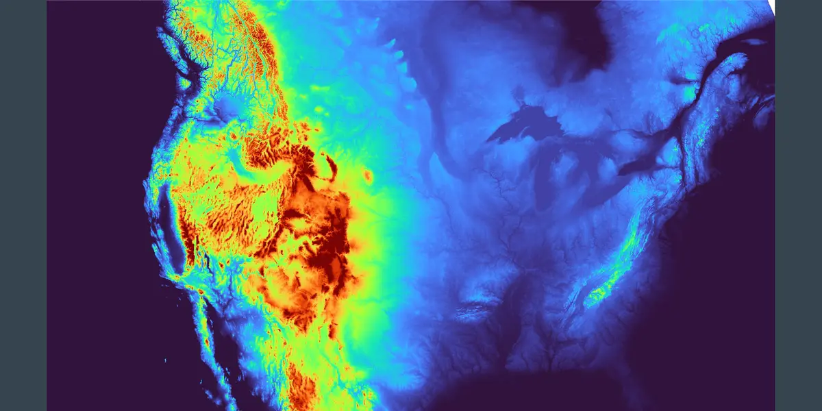
3D printable topographic maps of the United States of America and Worldwide Regions. Designed for easy printability and geographic accuracy. Print the regions you want and fit them together!
Not all map styles may be available on
MakerWorlddue to MakerWorld’s low file size limits.
All styles are available on Printables.
Get the 3D Map Models
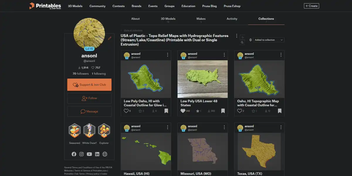
All 3D map models are downloadable for free on Printables.
Make 4 Color 3D Maps
3D Printing Settings

3D print profiles and settings recommendations.
Map Gallery
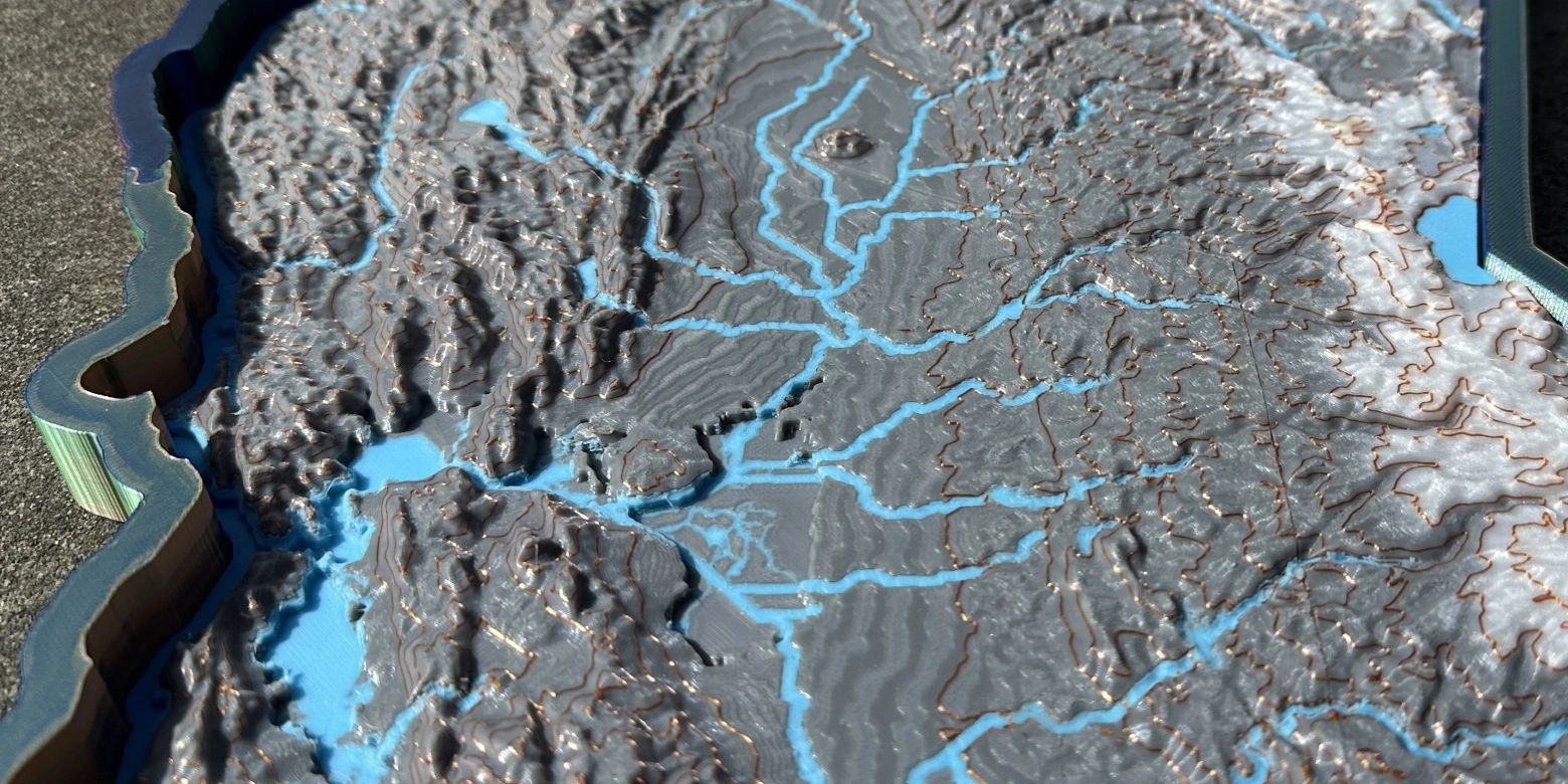
Real photos of my maps made by cool people all over the world. Send me pictures of your makes to add them to the gallery!
Release Notes

See what’s new and improved in the latest 3D map update.
File & Cartographic Specifications
Map file naming details, map projection, scale, resolution, and more.
Frequently Asked Questions

Answers to 3D modeling, slicing, printing issues.
The Code

Designing maps includes development on and contributions to open source projects such as Marlin, TouchTerrain, Blender 3MF Format, DXU, PrusaSlicer, Map Colorizer, ElemX Variable Density. Most of my original open source code is released under GNU AGPLv3.
Custom 3D Maps

Custom maps and commercial licenses are available. Send me a message.