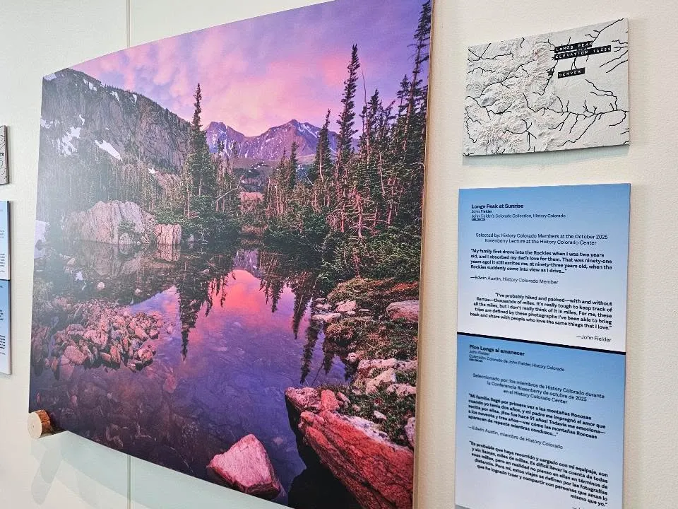
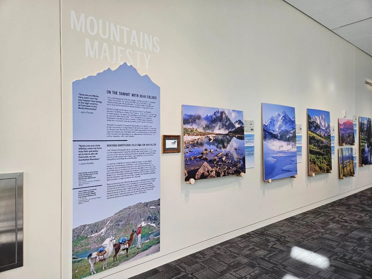
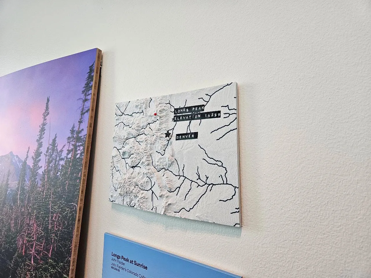
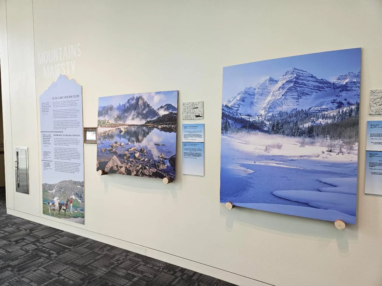
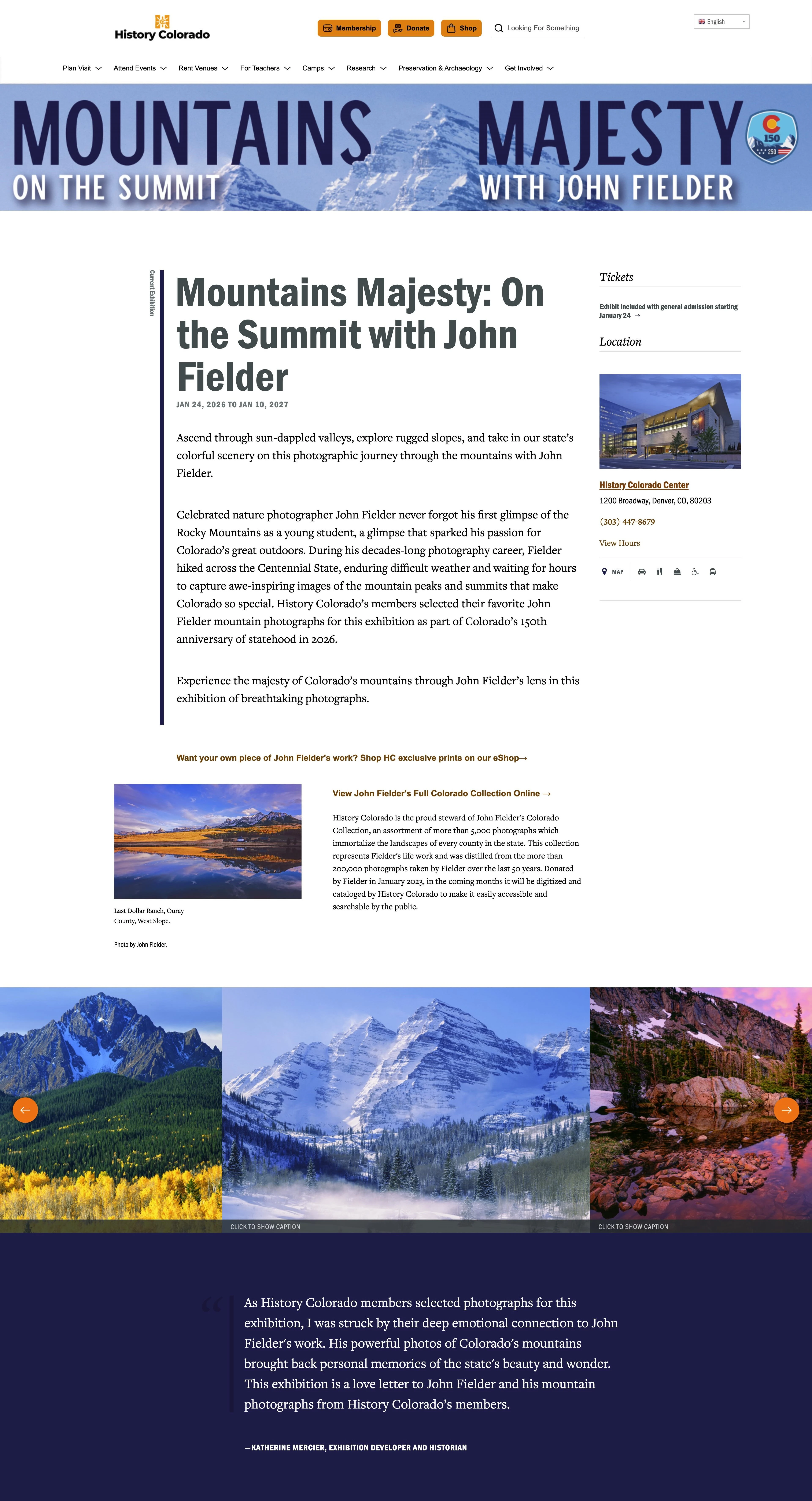
My Colorado 3D Topographic Maps are used as supporting locator maps at the Mountains Majesty: On the Summit with John Fielder exhibit at the History Colorado Center in Denver, Colorado.
These maps were printed in multiple colors presenting a light base map and dark rivers. Labels were placed on the map depicting the locations of John Fielder’s nature photos so that viewers can spatially visualize where the mountains are in the state.
The exhibit will be shown from JAN 24, 2026 - JAN 10, 2027
These displayed Colorado maps were printed by the awesome Jordan Proctor (JP Designs), a photographer and designer whose original work can be viewed at https://www.etsy.com/shop/JPDesignsOfficial. JP Designs is also a licensed seller of my 3D topographic map collection.
The design and development of these unique 3D maps were made possible by the contributions of open data, open source software, and my supporters.
You can download and print your own topographic map of Colorado and other states in the USA for free from my website or Printables.
Colorado USA (CO) Topographic Map with Hydrographic Features - Printables
Contact me or one of my licensed sellers to get a map created.
