3D printable topographic maps of the United States of America and Worldwide Regions. Designed for easy printability and geographic accuracy. Print the regions you want and fit them together!
Get the 3D Map Models
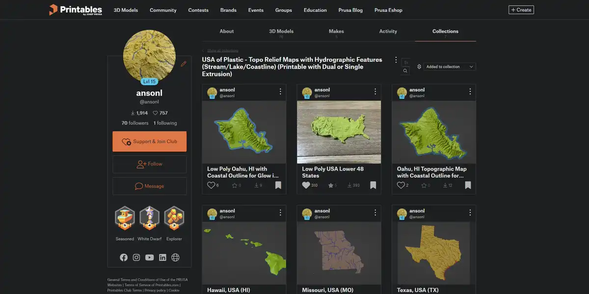
All 3D map models are downloadable for free on MakerWorld and Printables.
Make Quad-color Maps
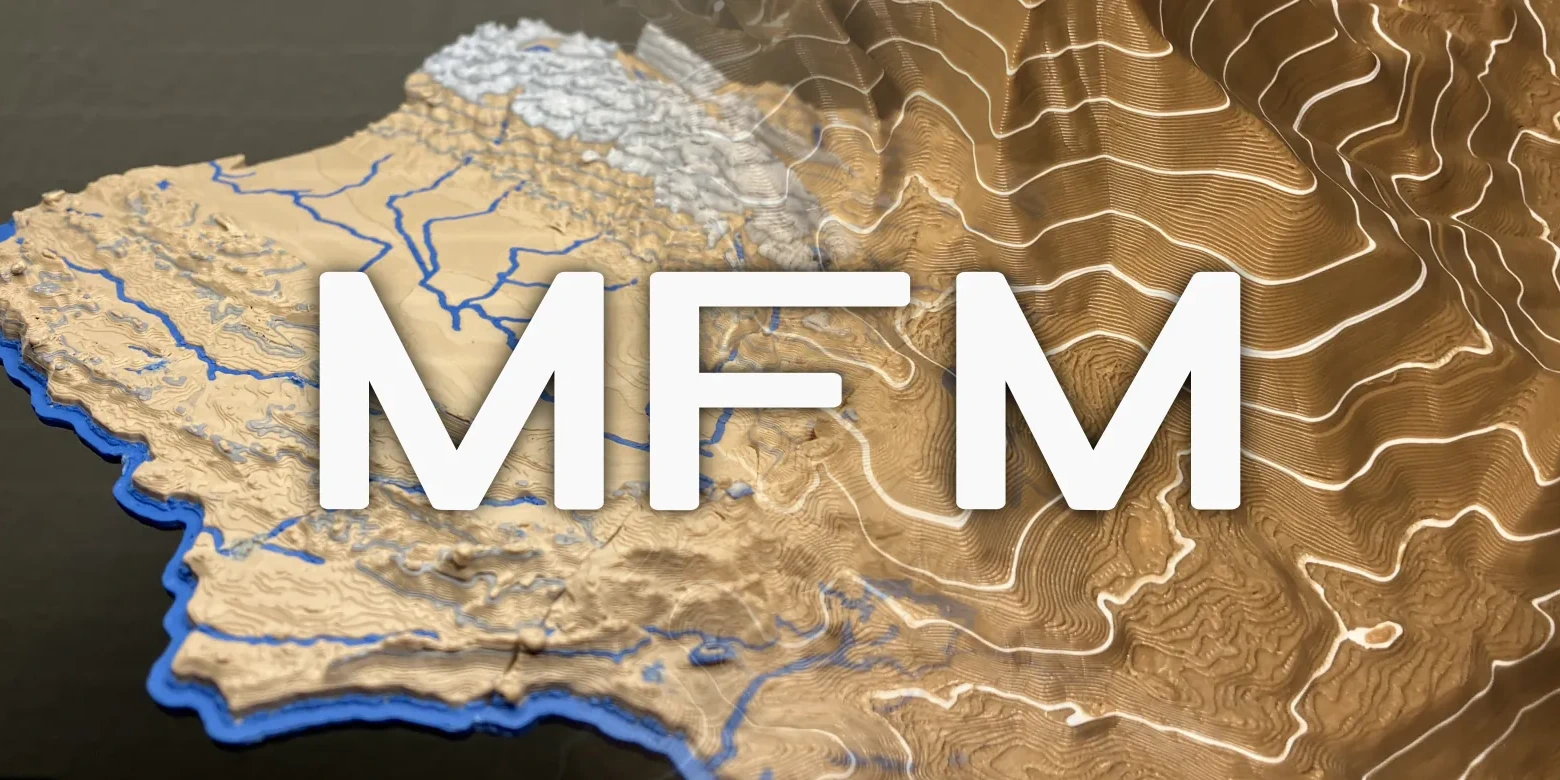
Add isolines and elevation color changes to 3D maps with the 3D G-code Map Feature Modifier (MFM) post processor.
3D Printing Settings

3D print profiles and settings recommendations.
Release Notes

See what’s new and improved in the latest 3D map update.
Cartographic Specifications
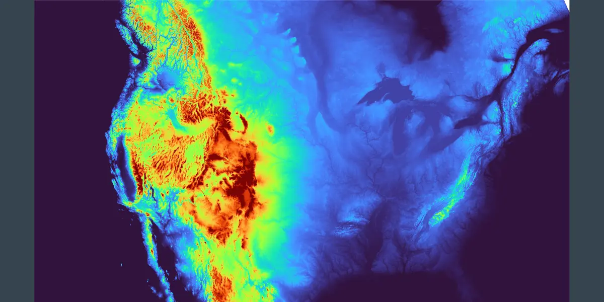
Map projection, scale, resolution, and more.
Frequently Asked Questions

Answers to 3D modeling, slicing, printing issues.
The Code

Open Source code released under GNU AGPLv3.
Custom 3D Maps

Custom maps and commercial licenses are available. Send me a message.